DIE STRECKE
SKYRACE DES MATHEYSINS
25 km
1,950 m elevation gain
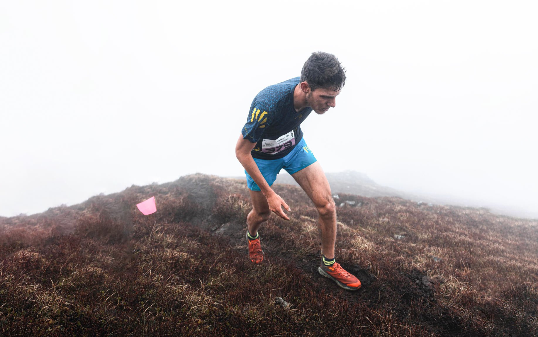
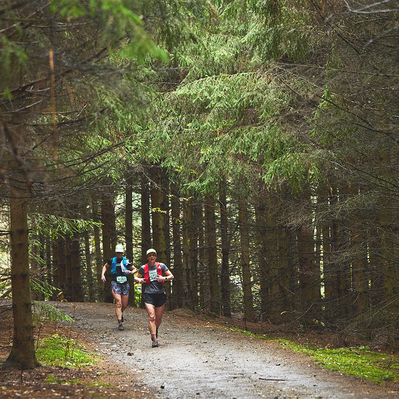
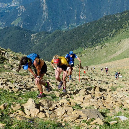
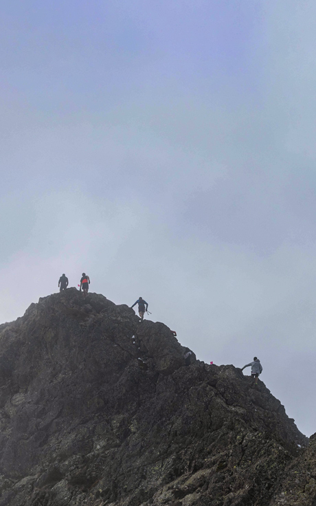
The signature race that gives the event its name allows you to link the peaks of Pérollier, Tabor, and Piquet de Nantes in a fun loop featuring varied conditions. The profile, which approximates a pyramid shape, reflects a first part where you run on your toes on the rocky ridges, in direct contact with the sky, before reaching the “Devil’s garden” (a mini vertical race with 600 m of elevation gain over 3 km), the highest point of the race. The technical descent from the summit to Tabor, which is often covered in snow, marks the reverse of the elevation gain, leading through the long and enchanting forest of the Roizonne valley to the finish line in Saint-Honoré.
SKYTOUR MATHEYSIN
42 km
3,150 m elevation gain
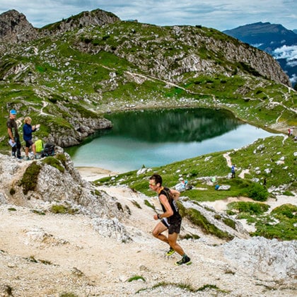
The longest-distance race. Like the classic version, it follows the same route every year. It’s faster and less technical. A real tour of the massifs in the heart of the Auvergne-Rhône-Alpes region. It’s the ascent of and descent from the Pérollier and the Piquet de Nantes that set the pace for the competition, for a total of two climbs and two gradual descents. The Skytour is the right challenge both for those who are new to the ultra-distance world and for those looking for a significant test in view of their main goals for the season.
RONDE DES MARMOTTES
12 km
280 m elevation gain
The race follows part of the route of the same name designed for fast hiking and e-MTB. The route is designed for everyone and concentrates the almost 300 m of elevation gain in the first 5 km, among rock and patches of snow. Immediately afterward comes a gentle descent that passes by the towns of Saint-Honoré and Nantes-en-Ratier.
