Skip to content Skip to navigation
engadin-ultra-trail-.jpg
ENGADIN ULTRA TRAIL

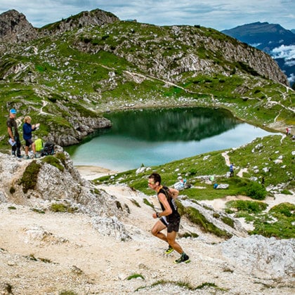
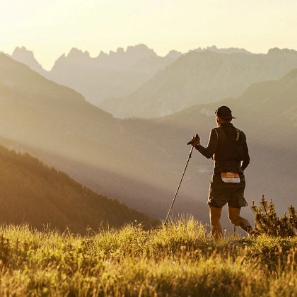
In this region, the green stretches as far as the eye can see, extending to the horizon. It’s interrupted by four lakes and immense forests of larch and Swiss pine. Marking its perimeter, the grandeur and brilliance of the perennial ice. The landscape of the Upper Engadine is worthy of the best Nordic fairy tales, but it changes radically once you cross the Val Punt Ota, in the village of Brail. Beyond, the panorama features narrow gorges carved by the Inn River and vertical rocky slopes. Here we’re in the Lower Engadine, which extends to the border with Austria.

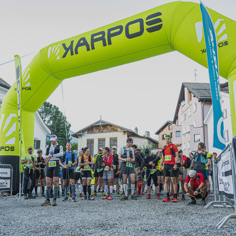
The Engadin Ultra Trail, now in its third edition in 2023, introduces trail running enthusiasts to a valley and its two regions, so different in terms of morphology, so similar in terms of the variety of landscapes and the epic nature of the medieval battles fought in them. The allure of these areas has attracted an increasing number of trail runners, with 800 signing up for the 2023 edition.
 
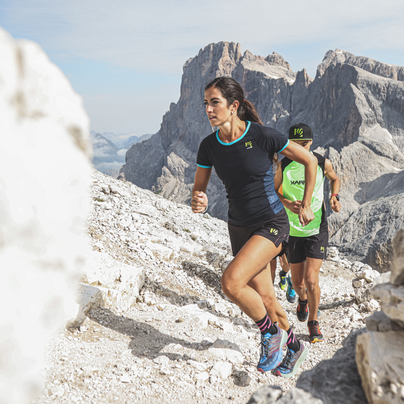
Running one of the event’s four distances means truly challenging your concept of endurance!
THE ROUTES


102 km
5,677 m elevation gain


Start at the Samedan church and finish in Samedan

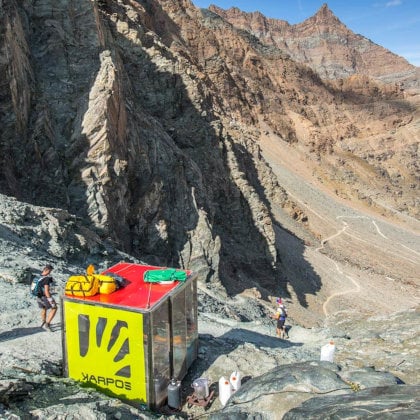
This is the iconic route of the Engadin Ultra Trail, which offers excitement and breathtaking scenery. You’ll be amazed by the Fuorcla Val Champagna (2,818 m), the highest point of the race, from which it’s impossible not to stare in wonder at the panorama created by Lake Muragl and Piz de las Sterlas. The wonderment lasts for a while: this loop route, made up of five significant climbs followed by steep descents, with an average of about 100 meters’ elevation change every kilometer, allows you to focus only on your remaining physical and mental strength. A magnificent challenge.


53 KM
53 km
2639 m elevation gain


Maximum time: 13 hours
Start in Zuoz and finish in Samedan


This route, second in terms of distance and difficulty, retraces long sections of the main route. The start in the historic center of Zouz, one of the most charming villages in all of Switzerland, is followed by the ascent to Munt Seja and the crossing of the Inn River to the Lower Engadine side. Moments that are etched in the memory of every runner who decides to tackle the EUT53, before concentrating on the subsequent downhill stretches, interrupted by a short flat section. The joy at the finish is a combination of the awareness of having accomplished something significant and the pleasure of having enjoyed the unrivaled scenery of the Upper and Lower Engadine.


EUT23
23 km
1064 m elevation gain


Maximum time: 10 hours
Start in La Punt Chamues and finish in Samedan


For participants who choose the 23-kilometer option, which follows the route of the EUT102 and EUT53 from God Arvins, the most scenic section is no doubt the trail leading to Alp Muntatsch, with a view of the Bernina massif, the highest peak in the Rhaetian Alps. It’s here that most of the route’s elevation change is concentrated — a 7-kilometer-long climb, followed by a descent that becomes increasingly gentle until the finish in Samedan.


EUT16
16 km
789 D+


Maximum hours: 8 hours
Start and finish at the Promulins Arena in Samedan


The 16-kilometer race, which consists of a loop that includes Alp Muntatsch and Alp Munt, is shorter in distance but no less demanding. Eight hours is the time limit for completing this route, which was designed for those who want to explore a new area at their own pace.


OUR PARTNERS

You can compare a maximum of 5 items at once. Please Remove at least one product before adding a new one.